bem_data: Download and load digital elevation data of Berlin
In Ignimbrit/rbem: Access High Resolution DEM data of Berlin in R
Description
Usage
Arguments
Details
Value
Examples
Description
Download and load digital elevation data of Berlin
Usage
1
2
3
4
5
6
7
Arguments
x
The target area for which dem data are to be downloaded.
Either created with bem_target or any object which can be
passed to sf::st_bbox
directory
A string giving the path to the directory where downloaded
.zip files should be saved to
read
Logical. Should the downloaded data be read into R?
output_format
Character specifying the output format.
Default "raster" will return output as raster::`Raster-class`.
The alternative is "tbl" which will return a
tibble::`tibble-package` of xyz coordinates instead.
merge_output
Logical. If TRUE, all downloaded tiles will be
merged in a single object. If FALSE, a list of objects with one entry
per tile will be returned
Details
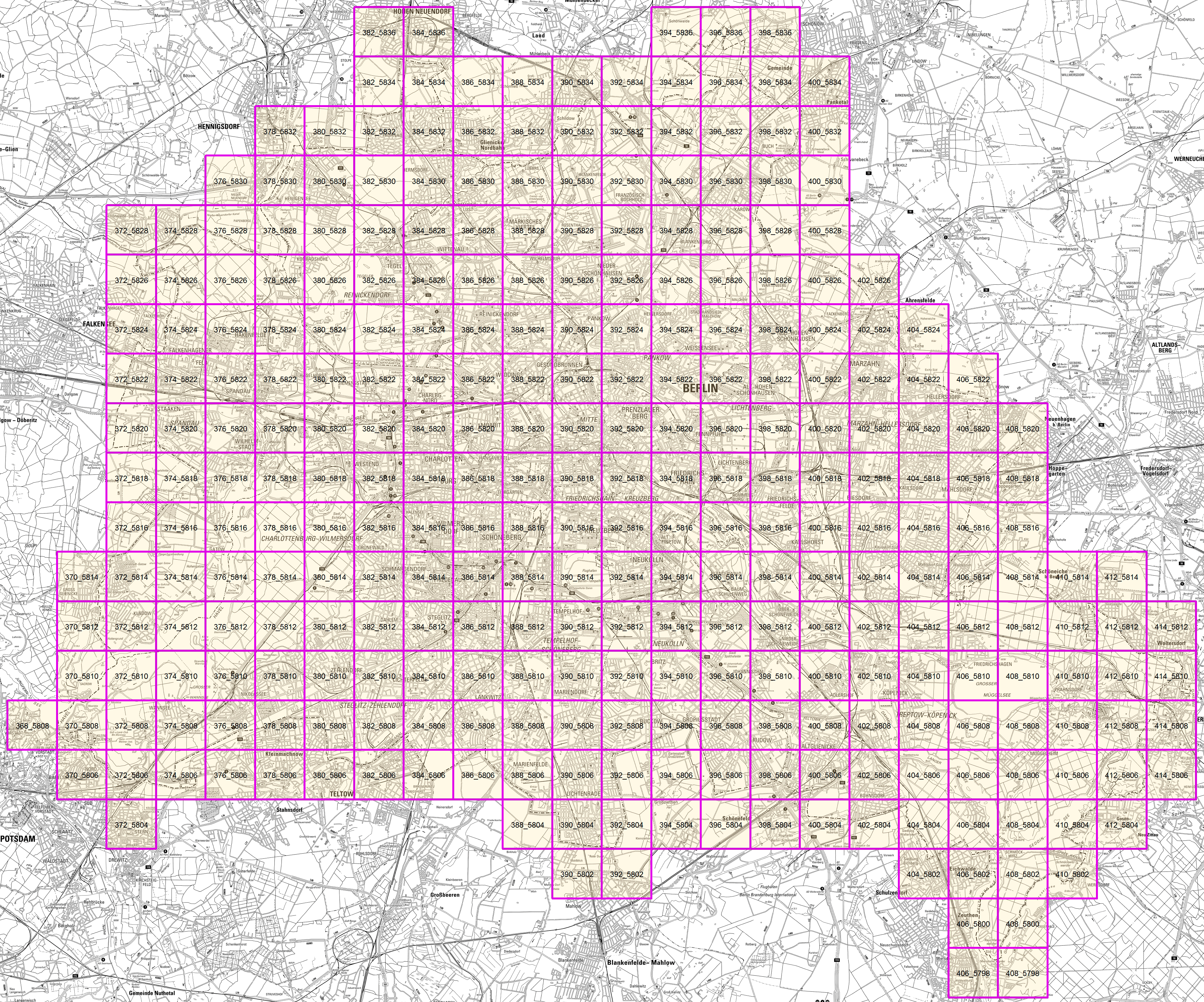
This function will identify targeted tiles of the 1m resolution
digital elevation model of Berlin that are distributed by the
Geoportal Berlin
("Geoportal Berlin / ATKRIS(R) DGM (1m-Rasterweite)" https://www.govdata.de/dl-de/by-2-0)
and download them into a specified directory (default is "BEMdata/"). It
will then attempt to load all downloaded data into R and return it in a
meaningful format that should make further processing easy.
Value
Either a raster::`Raster-class`, a
tibble::`tibble-package` or a list of any of those things,
depending on output_format. If read = FALSE, x
is returned invisible.
Examples
 1
 2
 3
 4
 5
 6
 7
 8
 9
10
11
12
13
14
15
16
17
18
19
20
21
22
## Not run:
my_area_of_interest <- bem_target(
xmin = 384000,
xmax = 386000,
ymin = 5806000,
ymax = 5808000)

# Careful! This will kick of ~ 100 MB download!
result <- bem_data(my_area_of_interest)

# In this case the result can be examined e.g. with the help of

# raster::plot(result)

# or

# mapview::mapview(result)


## End(Not run)
Ignimbrit/rbem documentation built on March 13, 2020, 12:02 a.m.
R Package Documentation
Browse R Packages
We want your feedback!
Note that we can't provide technical support on individual packages. You should contact the package authors for that.
Description Usage Arguments Details Value Examples
Description
Download and load digital elevation data of Berlin
Usage
1 2 3 4 5 6 7 |
Arguments
x |
The target area for which dem data are to be downloaded.
Either created with |
directory |
A string giving the path to the directory where downloaded .zip files should be saved to |
read |
Logical. Should the downloaded data be read into R? |
output_format |
Character specifying the output format.
Default "raster" will return output as |
merge_output |
Logical. If |
Details
This function will identify targeted tiles of the 1m resolution digital elevation model of Berlin that are distributed by the Geoportal Berlin ("Geoportal Berlin / ATKRIS(R) DGM (1m-Rasterweite)" https://www.govdata.de/dl-de/by-2-0) and download them into a specified directory (default is "BEMdata/"). It will then attempt to load all downloaded data into R and return it in a meaningful format that should make further processing easy.
Value
Either a raster::`Raster-class`, a
tibble::`tibble-package` or a list of any of those things,
depending on output_format. If read = FALSE, x
is returned invisible.
Examples
1 2 3 4 5 6 7 8 9 10 11 12 13 14 15 16 17 18 19 20 21 22 | ## Not run:
my_area_of_interest <- bem_target(
xmin = 384000,
xmax = 386000,
ymin = 5806000,
ymax = 5808000)
# Careful! This will kick of ~ 100 MB download!
result <- bem_data(my_area_of_interest)
# In this case the result can be examined e.g. with the help of
# raster::plot(result)
# or
# mapview::mapview(result)
## End(Not run)
|
R Package Documentation
Browse R Packages
We want your feedback!
Note that we can't provide technical support on individual packages. You should contact the package authors for that.
Embedding an R snippet on your website
Add the following code to your website.
For more information on customizing the embed code, read Embedding Snippets.