README.md
In WorldHealthOrganization/geocard: Create case counts "card" visualizations for a geographic entity
geocard

R package that creates an interactive visualization of the progression of case counts for a given geographic entity. Used in COVID-19 case counts displays.
Installation
remotes::install_github("WorldHealthOrganization/geocard")
Example
library(geocard)
geocard(
wa_cases,
card_name = "Washington",
population = 7549403,
ref_source = "NYT",
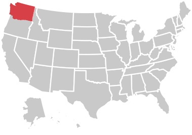
img_url = "https://raw.githubusercontent.com/hafen/us-locator-maps/master/thumbs/admin1/US/53.png"
)
WorldHealthOrganization/geocard documentation built on Oct. 7, 2020, 5:44 a.m.
R Package Documentation
Browse R Packages
We want your feedback!
Note that we can't provide technical support on individual packages. You should contact the package authors for that.
geocard
![]()
R package that creates an interactive visualization of the progression of case counts for a given geographic entity. Used in COVID-19 case counts displays.
Installation
remotes::install_github("WorldHealthOrganization/geocard")
Example
library(geocard)
geocard(
wa_cases,
card_name = "Washington",
population = 7549403,
ref_source = "NYT",
img_url = "https://raw.githubusercontent.com/hafen/us-locator-maps/master/thumbs/admin1/US/53.png"
)
R Package Documentation
Browse R Packages
We want your feedback!
Note that we can't provide technical support on individual packages. You should contact the package authors for that.
Embedding an R snippet on your website
Add the following code to your website.
For more information on customizing the embed code, read Embedding Snippets.