website/blog/2022-08-11-Python.md
In facebookincubator/GeoLift: Synthetic Control Method to Calculate Lift at a Geo Level
slug: Python
title: Introducing GeoLift in Python
authors: [jussan]
tags: [GeoLift, Geo Measurement, Python, R]
Introduction
Today we released a tutorial explaining how to run an end-to-end implementation of GeoLift in Python leveraging the rpy2 package. This has been a frequently requested feature by the GeoLift community. Moreover, it is one that we believe is very important for the continued scaling of GeoLift in data-savvy organizations.
The goal of this tutorial is to empower Python users to run the GeoLift R functions in Python using the rpy2 package. The rpy2 is an open source library which enables calling R from Python. It’s designed to facilitate the use of R by Python programmers.
GeoLift in Python
GeoLift is an end-to-end solution to measure Lift at a Geo-level using the latest developments in Synthetic Control Methods. Through this tutorial it is possible to run GeoLift R functions such as: Power Calculations, Inference, and Plots in Python.
There are 3 functions in Python under utils.py:
-
GeoLiftData: Load and return the dataset included in the GeoLift package.
-
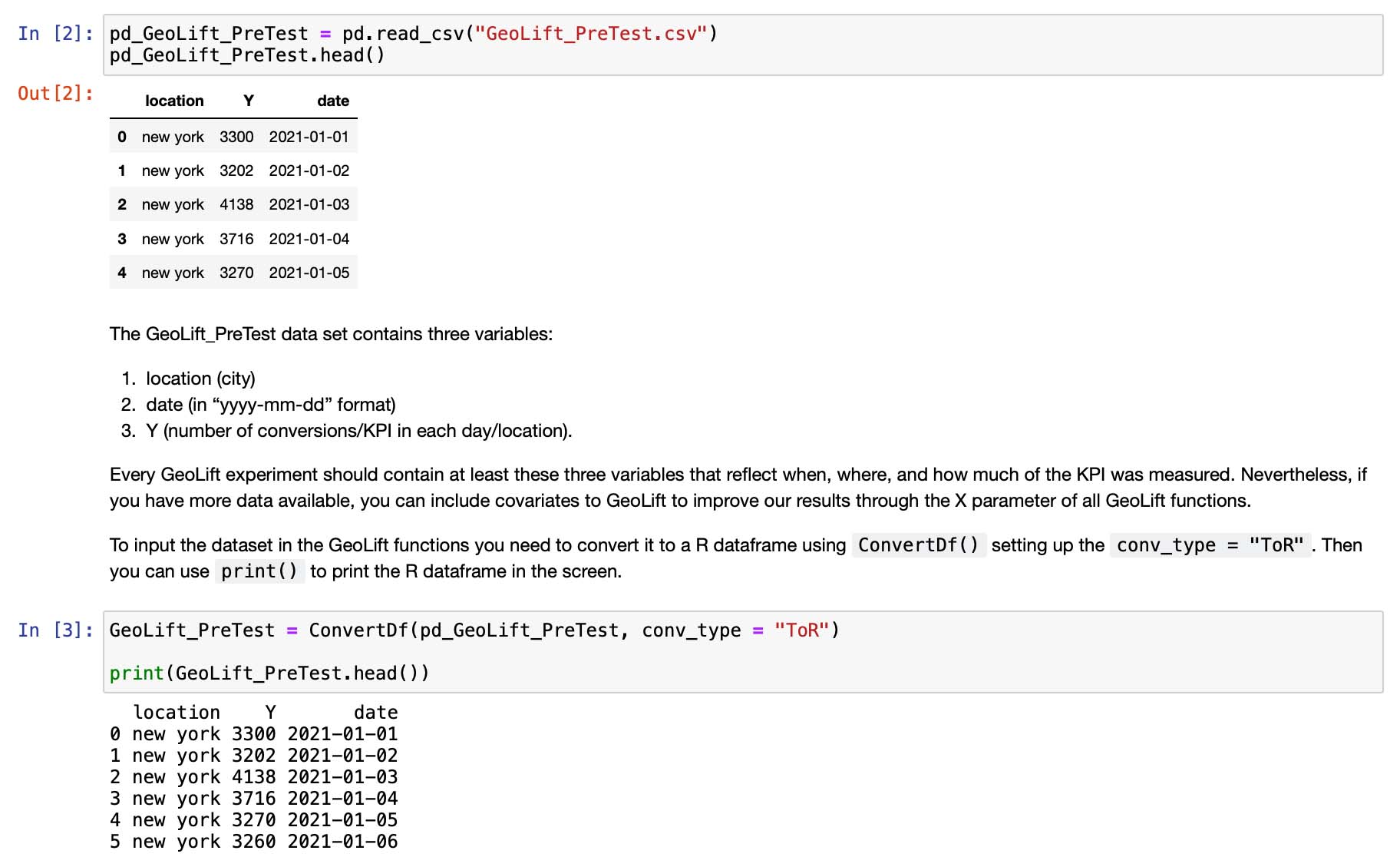
ConvertDf: Convert R dataframe into Pandas if conv_type = "ToPandas" or convert Pandas dataframe into R if conv_type = "ToR".
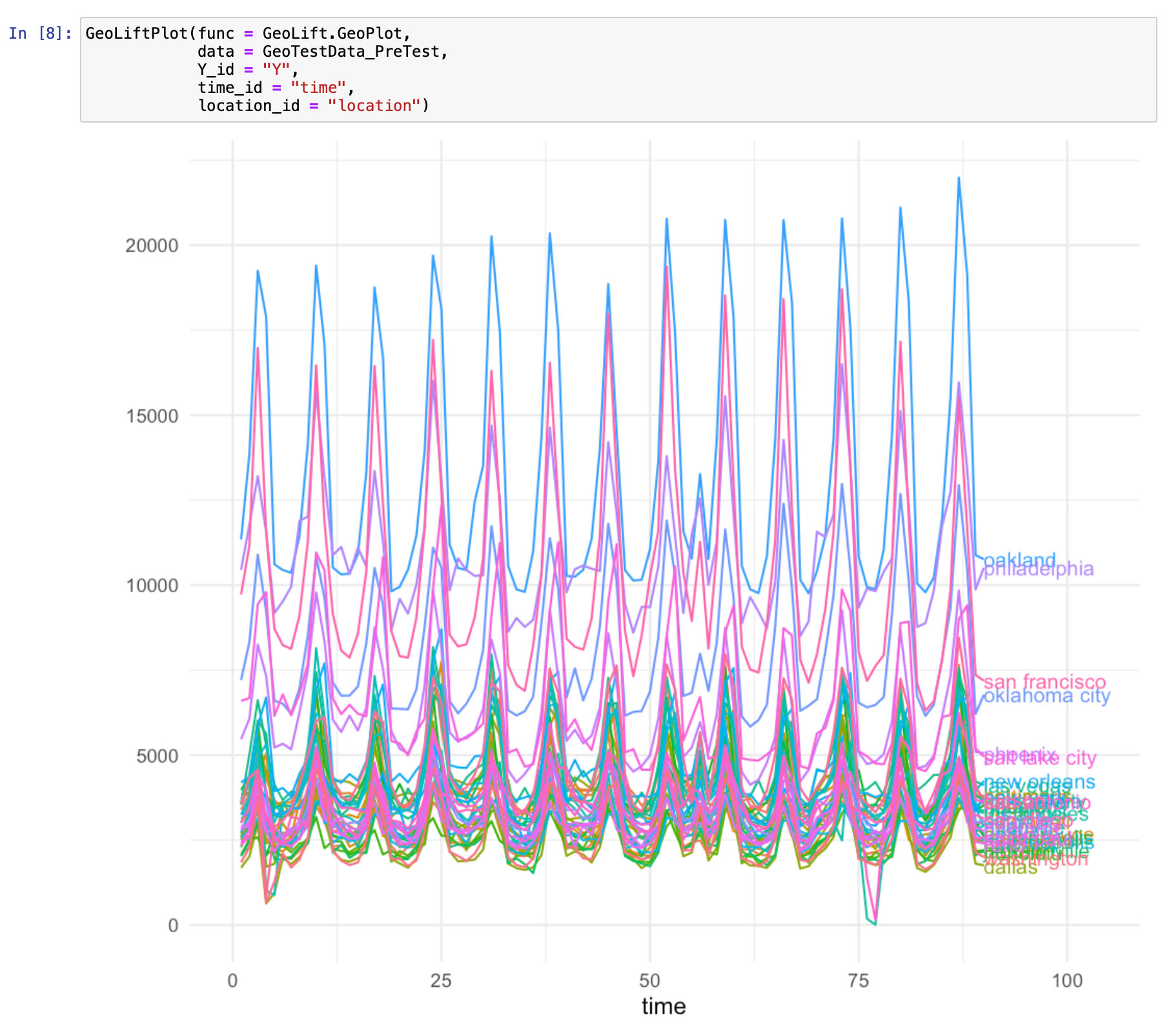
GeoLiftPlot: Receive a specific GeoLift Plot function (defined by the func parameter), its arguments and display the plot.
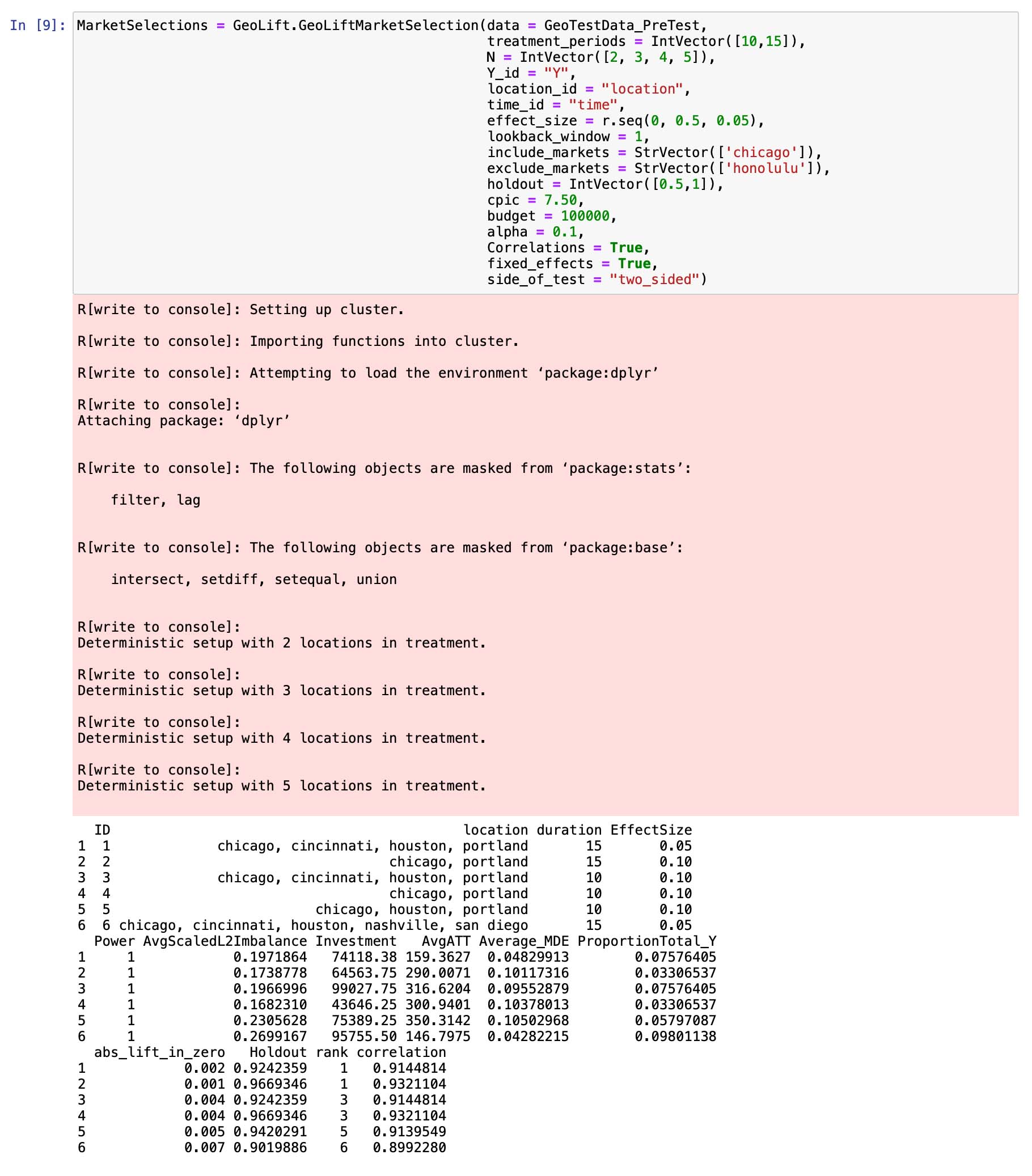
To run the R GeoLift functions in Python, you need to add GeoLift. in front of it as in GeoLift.GeoLiftMarketSelection(). For example:
Start Your GeoLift in Python Now!
You can access the GeoLift in Python tutorial in the GeoLiftPython folder hosted in the GeoLift github repository through this link. The README file contains all the necessary information to start working with the Python version of GeoLift.
facebookincubator/GeoLift documentation built on May 31, 2024, 10:09 a.m.
R Package Documentation
Browse R Packages
We want your feedback!
Note that we can't provide technical support on individual packages. You should contact the package authors for that.
slug: Python title: Introducing GeoLift in Python authors: [jussan] tags: [GeoLift, Geo Measurement, Python, R]
Introduction
Today we released a tutorial explaining how to run an end-to-end implementation of GeoLift in Python leveraging the rpy2 package. This has been a frequently requested feature by the GeoLift community. Moreover, it is one that we believe is very important for the continued scaling of GeoLift in data-savvy organizations.
The goal of this tutorial is to empower Python users to run the GeoLift R functions in Python using the rpy2 package. The rpy2 is an open source library which enables calling R from Python. It’s designed to facilitate the use of R by Python programmers.
GeoLift in Python
GeoLift is an end-to-end solution to measure Lift at a Geo-level using the latest developments in Synthetic Control Methods. Through this tutorial it is possible to run GeoLift R functions such as: Power Calculations, Inference, and Plots in Python.
There are 3 functions in Python under utils.py:
-
GeoLiftData: Load and return the dataset included in the GeoLift package. -
ConvertDf: Convert R dataframe into Pandas ifconv_type = "ToPandas"or convert Pandas dataframe into R ifconv_type = "ToR".
GeoLiftPlot: Receive a specific GeoLift Plot function (defined by thefuncparameter), its arguments and display the plot.
To run the R GeoLift functions in Python, you need to add GeoLift. in front of it as in GeoLift.GeoLiftMarketSelection(). For example:
Start Your GeoLift in Python Now!
You can access the GeoLift in Python tutorial in the GeoLiftPython folder hosted in the GeoLift github repository through this link. The README file contains all the necessary information to start working with the Python version of GeoLift.
R Package Documentation
Browse R Packages
We want your feedback!
Note that we can't provide technical support on individual packages. You should contact the package authors for that.
Embedding an R snippet on your website
Add the following code to your website.
For more information on customizing the embed code, read Embedding Snippets.